Huveaune
Bouches-du-Rhône geography stubsCoastal basins of the Mediterranean Sea in FranceFrance river stubsRivers of Bouches-du-RhôneRivers of France ... and 1 more
Rivers of Provence-Alpes-Côte d'Azur

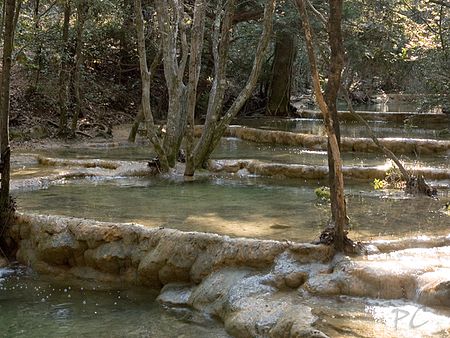
The Huveaune (French pronunciation: [yvon]; Occitan: Evèuna) is a small river in the Provence-Alpes-Côte d'Azur region of southeastern France. It is 48.5 kilometres (30.1 mi) long and flows through the communes of La Penne-sur-Huveaune, Nans-les-Pins, Saint-Zacharie, Plan-d'Aups-Sainte-Baume, Auriol, Roquevaire, Aubagne, and the metropolitan area of Marseille.The Huveaune rises in the Castelette cave at 590 metres (1,940 ft) in the Sainte-Baume mountain range, and runs into the Mediterranean Sea at Marseille. Its drainage basin is 502 km2 (194 sq mi).
Excerpt from the Wikipedia article Huveaune (License: CC BY-SA 3.0, Authors, Images).Huveaune
Promenade Georges Pompidou, Marseille 8th Arrondissement
Geographical coordinates (GPS) Address Nearby Places Show on map
Geographical coordinates (GPS)
| Latitude | Longitude |
|---|---|
| N 43.2594 ° | E 5.3734 ° |
Address
Promenade Georges Pompidou
13008 Marseille, 8th Arrondissement
Provence-Alpes-Côte d'Azur, France
Open on Google Maps


