Petroglyph National Monument
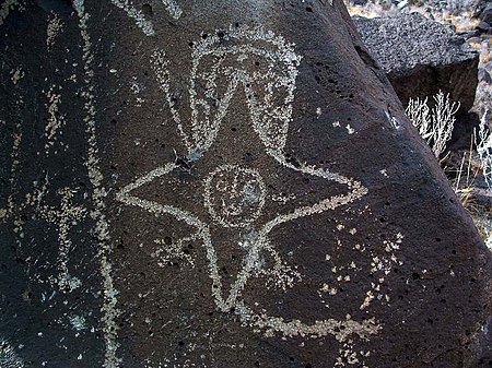
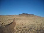
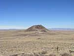
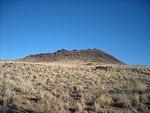
Petroglyph National Monument stretches 17 miles (27 km) along Albuquerque, New Mexico's West Mesa, a volcanic basalt escarpment that dominates the city's western horizon. Authorized June 27, 1990, the 7,236 acres (2,928 ha) monument is cooperatively managed by the National Park Service and the City of Albuquerque. The western boundary of the monument features a chain of dormant fissure volcanoes. Beginning in the northwest corner, Butte volcano is followed to its south by Bond, Vulcan, Black and JA volcanoes. Petroglyph National Monument protects a variety of cultural and natural resources including five volcanic cones, hundreds of archeological sites and an estimated 24,000 petroglyph images carved by Ancestral Pueblo peoples and early Spanish settlers. Many of the images are recognizable as animals, people, brands and crosses; others are more complex. Their meaning was, possibly, understood only by the carver. These images are the cultural heritage of a people who have long since moved into other areas and moved on through history for many reasons. The monument is intended as a protection for these lands and sites from and for visitors to see and appreciate for generations to come. The national monument is managed in a manner that allows recreational use. The monument has four major sites that visitors can access, Boca Negra Canyon, Rinconada Canyon, Piedras Marcadas Canyon, and the Volcano Day Use trails.
Excerpt from the Wikipedia article Petroglyph National Monument (License: CC BY-SA 3.0, Authors, Images).Petroglyph National Monument
Albuquerque
Geographical coordinates (GPS) Address Website Nearby Places Show on map
Geographical coordinates (GPS)
| Latitude | Longitude |
|---|---|
| N 35.135833333333 ° | E -106.76194444444 ° |
Address
Albuquerque (Αλμπουκέρκη)
Albuquerque
New Mexico, United States
Open on Google Maps
