Diefenbunker

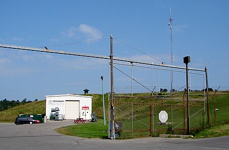
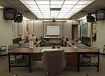
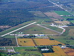
The Diefenbunker, formerly known by its military designation, Canadian Forces Station Carp (CFS Carp), is a large underground four-storey reinforced concrete bunker and nuclear fallout shelter located in the rural area of Carp, Ontario approximately 30 km (19 mi) west of downtown Ottawa. Between 1957 and 1961, during the Cold War the Government of Canada led by then Prime Minister John Diefenbaker authorized the Diefenbunker to be designed and built as the Central Emergency Government Headquarters (CEGHQ Carp) in an attempt to ensure the continuity of government subsequent to a nuclear weapons attack by the Soviet Union. In 1994, CFS Carp was decommissioned and closed.In 1994, the Diefenbunker was designated a National Historic Site of Canada because it is considered the most important surviving Cold War site in Canada. The bunker is important as an engineering achievement and to the critical path method of planning used in its construction. In addition, the Diefenbunker is symbolic of the Cold War, a strategy of nuclear deterrence and the Canadian people's determination to survive as a nation following a nuclear war. The Historic Sites and Monuments Board of Canada (HSMBC) plaque located at the Diefenbunker states: Irreverently known as the "Diefenbunker," this structure is a powerful symbol of Canada's response to the Cold War. Designed in the 1950s to withstand all but a direct hit by a nuclear weapon, it was intended to shelter key political and military personnel during a nuclear attack. Fortunately, it never served its intended purpose, although the Diefenbaker government made plans to retreat to its protection during the Cuban missile crisis of 1962. The bunker functioned as the hub of a communications network and civil defence system until it closed in 1994. In 1998, the facility was re-opened as a museum called the "Diefenbunker: Canada's Cold War Museum" allowing the general public year-round access to tour the facility.
Excerpt from the Wikipedia article Diefenbunker (License: CC BY-SA 3.0, Authors, Images).Diefenbunker
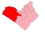
Carp Road, Ottawa West Carleton-March (West Carleton)
Geographical coordinates (GPS) Address Nearby Places Show on map
Geographical coordinates (GPS)
| Latitude | Longitude |
|---|---|
| N 45.351666666667 ° | E -76.047222222222 ° |
Address
Carp Road 3943
K0A 1L0 Ottawa, West Carleton-March (West Carleton)
Ontario, Canada
Open on Google Maps


