Macclesfield Forest and Wildboarclough
Cheshire geography stubsCivil parishes in CheshirePeak District

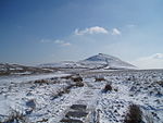
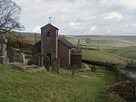
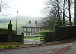
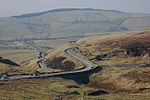
Macclesfield Forest and Wildboarclough is a civil parish in the unitary authority of Cheshire East and the ceremonial county of Cheshire, England. It lies on the western fringe of the Peak District National park. The population of the civil parish taken at the 2011 Census was 189.The parish is small, so there is no parish council; instead, the residents hold a periodic Parish meeting. The area consists mainly of reservoirs, woodland, farmland, and moorland. There are no centres of population, only a few villages and hamlets, most notably Wildboarclough and Langley.
Excerpt from the Wikipedia article Macclesfield Forest and Wildboarclough (License: CC BY-SA 3.0, Authors, Images).Macclesfield Forest and Wildboarclough
Geographical coordinates (GPS) Address External links Nearby Places Show on map
Geographical coordinates (GPS)
| Latitude | Longitude |
|---|---|
| N 53.233 ° | E -2.033 ° |
Address
Macclesfield Forest and Wildboarclough
, Macclesfield Forest and Wildboarclough
England, United Kingdom
Open on Google Maps


