Durovernum Cantiacorum
40s establishments in the Roman EmpireHistory of CanterburyPopulated places established in the 1st centuryRoman sites in KentRoman towns and cities in England

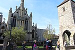
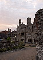
Durovernum Cantiacorum was a town and hillfort (Latin: oppidum) in Roman Britain at the site of present-day Canterbury in Kent. It occupied a strategic location on Watling Street at the best local crossing of the Stour, which prompted a convergence of roads connected to the ports of Dubris (Dover), Rutupiae (Richborough), Regulbium (Reculver) and Portus Lemanis (Lympne). Considerable archaeological evidence of Roman activity has been found in Canterbury, much of which can now be found in the Roman Museum built on the remains of a Roman townhouse.
Excerpt from the Wikipedia article Durovernum Cantiacorum (License: CC BY-SA 3.0, Authors, Images).Durovernum Cantiacorum
Longmarket, Canterbury The King's Mile
Geographical coordinates (GPS) Address Phone number Website Nearby Places Show on map
Geographical coordinates (GPS)
| Latitude | Longitude |
|---|---|
| N 51.278611111111 ° | E 1.0819444444444 ° |
Address
Wagamama
Longmarket 7-9
CT1 2JS Canterbury, The King's Mile
England, United Kingdom
Open on Google Maps


