Kalslagen en Bilderdam
Former municipalities of North HollandNorth Holland geography stubs

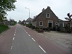
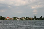
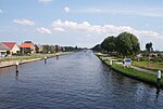
Kalslagen en Bilderdam is a former municipality in the Dutch province of North Holland. It existed between 1817 and 1854, and was sometimes simply called Kalslagen.The municipality covered the hamlet of Calslagen and a number of polders to the south, including part of the hamlet of Bilderdam. In 1854, the municipality was divided between Aalsmeer, Uithoorn, and Leimuiden; the hamlet Calslagen itself became a part of the municipality Aalsmeer.
Excerpt from the Wikipedia article Kalslagen en Bilderdam (License: CC BY-SA 3.0, Authors, Images).Kalslagen en Bilderdam
Herenweg,
Geographical coordinates (GPS) Address Nearby Places Show on map
Geographical coordinates (GPS)
| Latitude | Longitude |
|---|---|
| N 52.233333333333 ° | E 4.7333333333333 ° |
Address
Herenweg 79
1433 GX
North Holland, Netherlands
Open on Google Maps


