Col de Pierre Pertuis

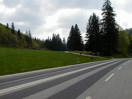
Col de Pierre Pertuis (el. 827 m.) is a mountain pass in the Jura Mountains in the canton of Berne in Switzerland. It connects Sonceboz and Tavannes. The name of the pass comes from the Latin: Petra pertusa, meaning broken rock. A third century inscription concerning the construction of a road through a natural cutting in the rocks along the route of the pass demonstrates that this is part of a route that was used in the Roman period, connecting Aventicum (modern Avenches) with Augusta Raurica, a Roman settlement a short distance to the east of Basel. The first road that was passable for automobiles was built during World War I by the corps of engineers of the Swiss Army. In 1932, a new road was built employing the jobless due to the Great Depression. In November 1997, a 2100-meter-long tunnel was opened for the A-16 Autobahn.
Excerpt from the Wikipedia article Col de Pierre Pertuis (License: CC BY-SA 3.0, Authors, Images).Col de Pierre Pertuis
Route de Pierre-Pertuis,
Geographical coordinates (GPS) Address Nearby Places Show on map
Geographical coordinates (GPS)
| Latitude | Longitude |
|---|---|
| N 47.210102777778 ° | E 7.1941666666667 ° |
Address
Route de Pierre-Pertuis
Route de Pierre-Pertuis
2710
Bern, Switzerland
Open on Google Maps


