Zijl

The Zijl (formerly known as Zyl) is a short river in the Dutch province of South Holland that connects the Old Rhine (Oude Rijn) with the Kagerplassen. The Zijl flows in a south–north direction and is only 4.56 kilometers long, running from the Spanjaardsbrug in the city of Leiden to the Kager plas Zweiland. There are two islands in the Zijl: Zijleiland and Boterhuiseiland. The northern section was previously referred to as the Rechte Zijl, while the southern part was known as the Kromme Zijl. The Zijl (1204: SIle) was originally a tidal creek, with its northern part dug around 1200 for drainage into the Kagerplassen. The Middle Dutch word sīle and Old Frisian sīl both mean 'water drainage' and belong to the same root as zijgen (Old High German sīhan, meaning to sieve, to drip). It has the same origin as the word zijl (sluice gate) and is related to Old Norse sīl (slow-flowing water) and Middle Low German sīl (watercourse, sewer).
Excerpt from the Wikipedia article Zijl (License: CC BY-SA 3.0, Authors, Images).Zijl
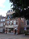
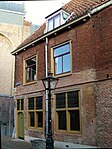
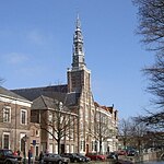
Du Rieustraat, Leiden
Geographical coordinates (GPS) Address Nearby Places Show on map
Geographical coordinates (GPS)
| Latitude | Longitude |
|---|---|
| N 52.15 ° | E 4.5 ° |
Address
Du Rieustraat 15
2313 GZ Leiden
South Holland, Netherlands
Open on Google Maps


