Belpberg (ridge)
Mountains of EuropeMountains of the canton of BernMountains under 1000 metres

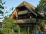
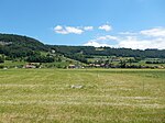
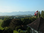
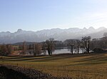
Belpberg is an isolated ridge in the Aaretal between Bern and Thun in Switzerland. The ridge has a width of 2 to 4 km and a length of about 11 km, reaches its highest point on the Chutzen at 892.5 m above sea level and rises up to 370 meters from the surrounding valley plains. Belpberg is bordered on the west by the Gürbetal, on the east by the wide Aaretal and on the north by the Belpmoos, the place where the Gürbetal merges with Aaretal. The southern boundary is formed by a valley furrow near Seftigen. Until 2011, it was in the municipality of Belpberg, which later was merged with Belp.
Excerpt from the Wikipedia article Belpberg (ridge) (License: CC BY-SA 3.0, Authors, Images).Belpberg (ridge)
Chutzen,
Geographical coordinates (GPS) Address Nearby Places Show on map
Geographical coordinates (GPS)
| Latitude | Longitude |
|---|---|
| N 46.860555555556 ° | E 7.5263888888889 ° |
Address
Belpberg/Chutze
Chutzen
3124 (Belpberg)
Bern, Switzerland
Open on Google Maps


