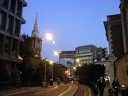
Bevis Marks
London road stubsStreets in the City of LondonUse British English from December 2016

Bevis Marks, classified as part of the A1211, is a short street (about 150 m long) in the ward of Aldgate in the City of London. Traffic runs northwest in a one-way direction into Camomile Street, and parallel to Houndsditch which runs southeast one-way.
Excerpt from the Wikipedia article Bevis Marks (License: CC BY-SA 3.0, Authors, Images).Bevis Marks
Bevis Marks, City of London
Geographical coordinates (GPS) Address Nearby Places Show on map
Geographical coordinates (GPS)
| Latitude | Longitude |
|---|---|
| N 51.515 ° | E -0.0792 ° |
Address
Bevis Marks 24
EC3A 7AL City of London
England, United Kingdom
Open on Google Maps


