Burnt Fen

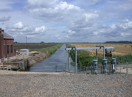
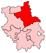
Burnt Fen is an area of low-lying land crossed by the A1101 road between Littleport in Cambridgeshire and Mildenhall in Suffolk, England. It is surrounded on three sides by rivers, and consists of prime agricultural land, with sparse settlement. It is dependent on pumped drainage to prevent it from flooding. Between 1759 and 1962 the area was managed by the Commissioners of the Burnt Fen First Drainage District, who were then replaced by the Burnt Fen Internal Drainage Board, when the area of responsibility was expanded. Funding for the drainage works is collected by a system of rates, paid by those whose property would be threatened by flooding without the works.
Excerpt from the Wikipedia article Burnt Fen (License: CC BY-SA 3.0, Authors, Images).Burnt Fen
White House Road, East Cambridgeshire
Geographical coordinates (GPS) Address Nearby Places Show on map
Geographical coordinates (GPS)
| Latitude | Longitude |
|---|---|
| N 52.46 ° | E 0.36 ° |
Address
White House Road
CB7 4SY East Cambridgeshire
England, United Kingdom
Open on Google Maps


