Maarsseveen
Former municipalities of Utrecht (province)Populated places in Utrecht (province)Stichtse VechtUtrecht (province) geography stubs

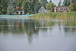
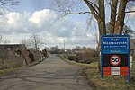
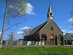
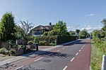
Maarsseveen is a former hamlet in the Dutch province of Utrecht. It was located on the east bank of the Vecht River, opposite the village of Maarssen, and has now been completely absorbed by that town. It makes part of the municipality of Stichtse Vecht. From 1815 to 1949, Maarsseveen was a separate municipality. Apart from the village itself, the municipality covered the polder Maarsseveen, and the village of Oud-Maarsseveen.
Excerpt from the Wikipedia article Maarsseveen (License: CC BY-SA 3.0, Authors, Images).Maarsseveen
Herenweg, Stichtse Vecht
Geographical coordinates (GPS) Address Nearby Places Show on map
Geographical coordinates (GPS)
| Latitude | Longitude |
|---|---|
| N 52.140833333333 ° | E 5.0736111111111 ° |
Address
Herenweg 64-01B
3602 AR Stichtse Vecht
Utrecht, Netherlands
Open on Google Maps
