Castelnau, London
Areas of LondonBarnes, LondonCastelnau, LondonDistricts of London on the River ThamesDistricts of the London Borough of Richmond upon Thames ... and 2 more
Streets in the London Borough of Richmond upon ThamesUse British English from August 2015

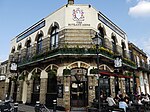
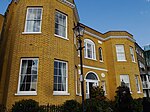
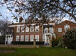
Castelnau is a road in Barnes, in the London Borough of Richmond upon Thames, south west London, approximately 5.1 miles (8.2 km) west from Charing Cross on the south side of the River Thames. About 1.1 miles (1.8 km) long, it is the main road south from Hammersmith Bridge and forms part of the A306 road. It was originally named Upper Bridge Road. The name Castelnau is also used informally for Castelnau Estate and the area surrounding the road. An area of Barnes including Castelnau was designated a conservation area in 1977.
Excerpt from the Wikipedia article Castelnau, London (License: CC BY-SA 3.0, Authors, Images).Castelnau, London
Lonsdale Road, London
Geographical coordinates (GPS) Address Nearby Places Show on map
Geographical coordinates (GPS)
| Latitude | Longitude |
|---|---|
| N 51.486 ° | E -0.233 ° |
Address
Lonsdale Road 8
SW13 9EB London (London Borough of Richmond upon Thames)
England, United Kingdom
Open on Google Maps


