Constable Hook

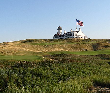
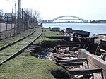
Constable Hook is a cape located on the north side of the outlet of Kill van Kull into Upper New York Bay in Bayonne, New Jersey. The cape has long been an important site of marine transfer operations in the Port of New York and New Jersey. Just offshore, Robbins Reef Light serves to guide harbor traffic. Since the late 20th century, brownfields have been repurposed for recreational and commercial uses. Historically the term Constable Hook was used more broadly to be synonymous with Bergen Point as defining the southern extent of Bergen Neck and of Bergen Township when established in 1693. On March 15, 1861, the New Jersey Legislature approved unification of Constable Hook along with Bergen Point, Centerville and Salterville into the Township of Bayonne. Three weeks later the Charter for the City of Bayonne was signed by Governor Charles S. Olden.
Excerpt from the Wikipedia article Constable Hook (License: CC BY-SA 3.0, Authors, Images).Constable Hook
New Hook Access Road,
Geographical coordinates (GPS) Address Nearby Places Show on map
Geographical coordinates (GPS)
| Latitude | Longitude |
|---|---|
| N 40.65778 ° | E -74.09944 ° |
Address
New Hook Access Road
New Hook Access Road
07002
New Jersey, United States
Open on Google Maps


