Gwelup, Western Australia
Suburbs in the City of StirlingSuburbs of Perth, Western AustraliaUse Australian English from March 2014

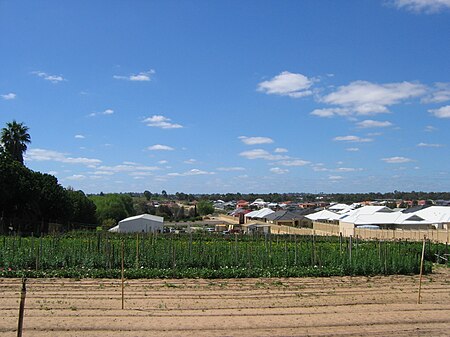
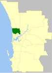
Gwelup is a suburb of Perth, the capital city of Western Australia 12 km north of Perth's central business district (CBD) along the Mitchell Freeway. Its local government area is the City of Stirling.
Excerpt from the Wikipedia article Gwelup, Western Australia (License: CC BY-SA 3.0, Authors, Images).Gwelup, Western Australia
Wishart Street, City Of Stirling
Geographical coordinates (GPS) Address Nearby Places Show on map
Geographical coordinates (GPS)
| Latitude | Longitude |
|---|---|
| N -31.8762 ° | E 115.7989 ° |
Address
Wishart Street
Wishart Street
6021 City Of Stirling, Gwelup
Western Australia, Australia
Open on Google Maps


