Salorno
Municipalities of South TyrolPages with German IPAPages with Italian IPA

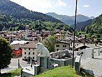
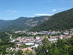
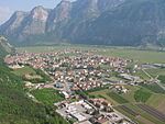
Salorno sulla Strada del Vino (Italian pronunciation: [saˈlorno]; German: Salurn [saˈlʊrn]) is the southernmost comune (municipality) and a village in South Tyrol in northern Italy, located about 30 kilometres (19 mi) southwest of the city of Bolzano. It is one of only five mainly Italian-speaking municipalities in South Tyrol.
Excerpt from the Wikipedia article Salorno (License: CC BY-SA 3.0, Authors, Images).Salorno
Strada Boschiva Geier - Waldweg, Überetsch-Unterland - Oltradige-Bassa Atesina
Geographical coordinates (GPS) Address Nearby Places Show on map
Geographical coordinates (GPS)
| Latitude | Longitude |
|---|---|
| N 46.233333333333 ° | E 11.2 ° |
Address
Strada Boschiva Geier - Waldweg
Strada Boschiva Geier - Waldweg
39040 Überetsch-Unterland - Oltradige-Bassa Atesina
Trentino-Alto Adige/Südtirol, Italy
Open on Google Maps


