Oatley, New South Wales
Georges River CouncilSuburbs of SydneyUse Australian English from August 2019Vague or ambiguous time from February 2017

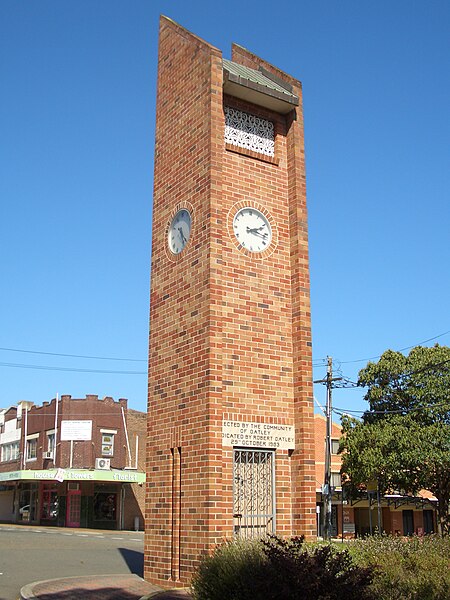
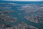
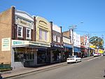
Oatley is a suburb in Southern Sydney in the state of New South Wales, Australia. It is located 18 kilometres (11 miles) south of the Sydney central business district and is part of the St George area. Oatley lies in the local government area of Georges River Council. It lies on the northern side of the tidal estuary of the Georges River and its foreshore includes part of Oatley Bay and Lime Kiln Bay, and all of Neverfail Bay, Gungah Bay and Jewfish Bay.
Excerpt from the Wikipedia article Oatley, New South Wales (License: CC BY-SA 3.0, Authors, Images).Oatley, New South Wales
Woronora Parade, Sydney Oatley
Geographical coordinates (GPS) Address Nearby Places Show on map
Geographical coordinates (GPS)
| Latitude | Longitude |
|---|---|
| N -33.981111111111 ° | E 151.07472222222 ° |
Address
Woronora Parade
Woronora Parade
2223 Sydney, Oatley
New South Wales, Australia
Open on Google Maps


