Westwell, Kent
Civil parishes in Ashford, KentKent geography stubsVillages in KentVillages in the Borough of Ashford

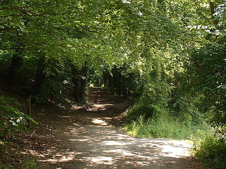
Westwell is a village and relatively elevated civil parish with a population of 740 (2001), centred 4 miles (6 km) north of Ashford in Kent, England, in the Borough of Ashford. The Pilgrims' Way runs close to the village on the Downs and was travelled by pilgrims on their way to Canterbury. The M20 motorway and High Speed 1 pass through the long south-west outskirts of the parish.
Excerpt from the Wikipedia article Westwell, Kent (License: CC BY-SA 3.0, Authors, Images).Westwell, Kent
Geographical coordinates (GPS) Address Nearby Places Show on map
Geographical coordinates (GPS)
| Latitude | Longitude |
|---|---|
| N 51.191 ° | E 0.8475 ° |
Address
TN25 4LQ , Westwell
England, United Kingdom
Open on Google Maps


