Chichester Canal

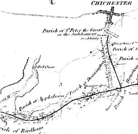
The Chichester Canal is a ship canal in England, currently navigable at either end, save for two low-level modern bridges obstructing the middle of the route. Its course is essentially intact, 3.8 miles (6.1 km) from the sea at Birdham on Chichester Harbour to Chichester through two locks. The canal (originally part of the Portsmouth and Arundel Canal) was opened in 1822 and took three years to build. The canal could take ships of up to 100 long tons (100 t). Dimensions were limited to 85 feet (26 metres) long, 18 feet (5.5 m) wide and a draft of up to 7 feet (2.1 m). As denoted by the suffix -chester, Chichester is a Roman settlement (Noviomagus Reginorum), and 300 Denarii were unearthed when Chichester Basin was formed in the 1820s.
Excerpt from the Wikipedia article Chichester Canal (License: CC BY-SA 3.0, Authors, Images).Chichester Canal
Poyntz Bridge, Chichester Donnington
Geographical coordinates (GPS) Address Nearby Places Show on map
Geographical coordinates (GPS)
| Latitude | Longitude |
|---|---|
| N 50.813216666667 ° | E -0.77436388888889 ° |
Address
Poyntz Bridge
Poyntz Bridge
PO20 1NG Chichester, Donnington
England, United Kingdom
Open on Google Maps


