La Pobla de Claramunt
Municipalities in AnoiaProvince of Barcelona geography stubs

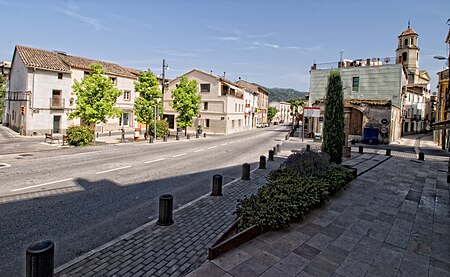
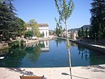
La Pobla de Claramunt is a municipality in the comarca of the Anoia in Catalonia, Spain. It is situated on the edge of the Òdena Basin at the entrance to the Capellades Gorge. The town is dominated by Claramunt castle, on a hilltop some 150 m above the modern settlement: the castle was, with Castellbell castle, one of the main points of control of access to the Llobregat valley and hence to Barcelona. With neighbouring Capellades, La Pobla de Claramunt is an important centre for paper manufacture. It is served by a station on the FGC railway line R6 from Barcelona and Martorell to Igualada and by the C-244 road from Igualada to Vilafranca del Penedès.
Excerpt from the Wikipedia article La Pobla de Claramunt (License: CC BY-SA 3.0, Authors, Images).La Pobla de Claramunt
Carrer del Doctor Trueta,
Geographical coordinates (GPS) Address Nearby Places Show on map
Geographical coordinates (GPS)
| Latitude | Longitude |
|---|---|
| N 41.554444444444 ° | E 1.6797222222222 ° |
Address
Carrer del Doctor Trueta
Carrer del Doctor Trueta
08786
Spain
Open on Google Maps


