Pont-de-Crau
ArlesGeography of Bouches-du-RhôneTourist attractions in Bouches-du-RhôneTransport infrastructure completed in 1585

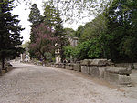
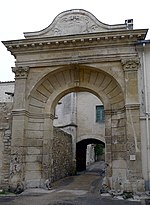
Pont-de-Crau is a village of 3,200 inhabitants within the municipality of Arles, in the Bouches-du-Rhône department, France. It is named after the bridge/aqueduct that was built circa 1585 to carry the Canal de Craponne across the fetid swamps south east of the city.
Excerpt from the Wikipedia article Pont-de-Crau (License: CC BY-SA 3.0, Authors, Images).Pont-de-Crau
D 570N, Arles
Geographical coordinates (GPS) Address Nearby Places Show on map
Geographical coordinates (GPS)
| Latitude | Longitude |
|---|---|
| N 43.665078 ° | E 4.647588 ° |
Address
Aqueduc du Pont de Crau
D 570N
13200 Arles
Provence-Alpes-Côte d'Azur, France
Open on Google Maps


