Headington Road

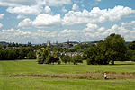
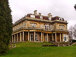
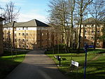
Headington Road is an arterial road in the east of Oxford, England. The road connects the junction of St Clements and Marston Road with the suburb of Headington, up Headington Hill. When it reaches the Headley Way junction, it becomes London Road, as the Boundary Brook runs under the road at this point. To the south is South Park, from which good views of the city centre with its historic university buildings can be seen. Also to the south on Gipsy Lane at the top of Headington Hill is the Headington campus of Oxford Brookes University, originally the Oxford Polytechnic. Pullens Lane leads off to the north at the top of Headington Hill. Headington Hill Hall, built in 1824 for the Morrell family, local brewers, is nearby, with its associated Headington Hill Park bordering Headington Road to the north. The road is designated the A420.
Excerpt from the Wikipedia article Headington Road (License: CC BY-SA 3.0, Authors, Images).Headington Road
Headington Road, Oxford East Oxford
Geographical coordinates (GPS) Address Nearby Places Show on map
Geographical coordinates (GPS)
| Latitude | Longitude |
|---|---|
| N 51.753 ° | E -1.234 ° |
Address
Headington Road
Headington Road
OX3 0ED Oxford, East Oxford
England, United Kingdom
Open on Google Maps


