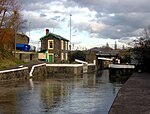
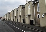
Redfield, Bristol
Areas of Bristol

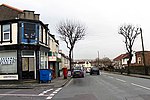
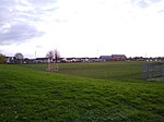
Redfield is an area situated in East Bristol though it is represented in Westminster as part of the Bristol West constituency. It includes the stretch of Church Road (A420) from Verrier Road to the western boundary of St George's Green, Victorian-era landscaped parkland. It is adjacent to the neighbourhoods of Barton Hill and Russell Town to the South, St George to the East, Whitehall to the North and Lawrence Hill to the West and Pile Marsh to the South-East.
Excerpt from the Wikipedia article Redfield, Bristol (License: CC BY-SA 3.0, Authors, Images).Redfield, Bristol
Albion Street, Bristol Redfield
Geographical coordinates (GPS) Address Nearby Places Show on map
Geographical coordinates (GPS)
| Latitude | Longitude |
|---|---|
| N 51.45971 ° | E -2.55653 ° |
Address
Albion Street 8
BS5 9DT Bristol, Redfield
England, United Kingdom
Open on Google Maps

