Sefinenfurgge Pass
Canton of Bern geography stubsMountain passes of SwitzerlandMountain passes of the AlpsMountain passes of the canton of Bern

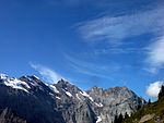
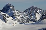
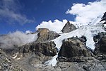
The Sefinafurgga (Swiss German, Germanized: Sefinenfurgge) is a mountain pass of the Bernese Alps. The pass crosses the col between the peaks of Hundshore and Bütlasse, at an elevation of 2,612 m (8,570 ft).The pass is traversed by a hiking track, which connects the village of Lauterbrunnen, at an elevation of 795 m (2,608 ft), and the Alpine hamlet of Griesalp, at an elevation of 1,408 m (4,619 ft) in the upper Kiental south of Reichenbach im Kandertal at the entrance of the Kiental. The track forms part of the Alpine Pass Route, a long-distance hiking trail across Switzerland between Sargans and Montreux.
Excerpt from the Wikipedia article Sefinenfurgge Pass (License: CC BY-SA 3.0, Authors, Images).Sefinenfurgge Pass
Moränenweg,
Geographical coordinates (GPS) Address Nearby Places Show on map
Geographical coordinates (GPS)
| Latitude | Longitude |
|---|---|
| N 46.531666666667 ° | E 7.8130555555556 ° |
Address
Sefinenfurgge
Moränenweg
Bern, Switzerland
Open on Google Maps


