A13 road (England)
A13 road (England)Infobox road instances in EnglandRoads in EssexRoads in LondonTransport in Castle Point ... and 8 more
Transport in Southend-on-SeaTransport in ThurrockTransport in the Borough of BasildonTransport in the London Borough of Barking and DagenhamTransport in the London Borough of HaveringTransport in the London Borough of NewhamTransport in the London Borough of Tower HamletsUse British English from February 2013

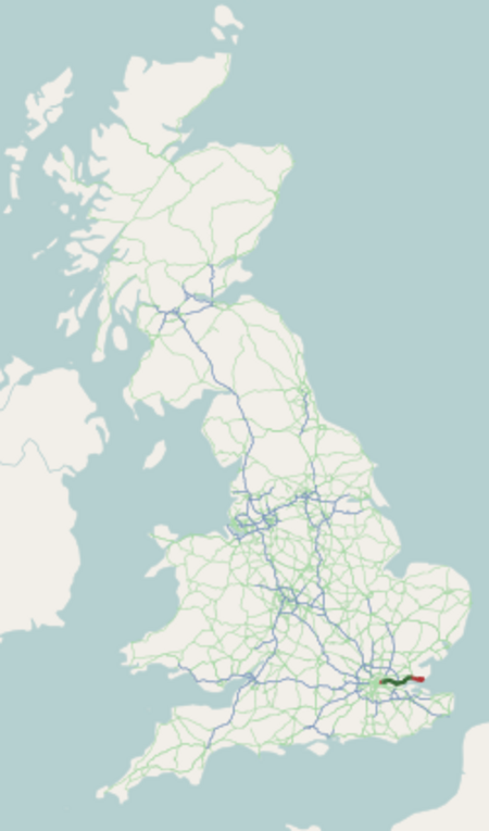
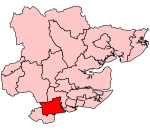
The A13 is a major road in England linking Central London with east London and south Essex. Its route is similar to that of the London, Tilbury and Southend line via Rainham, Grays, Tilbury, Stanford-Le-Hope & Pitsea,and runs the entire length of the northern Thames Gateway area, terminating on the Thames Estuary at Shoeburyness. It is a trunk road between London and the Tilbury junction, a primary route between there and Sadlers Hall Farm near South Benfleet, and a non-primary route between there and Shoeburyness.
Excerpt from the Wikipedia article A13 road (England) (License: CC BY-SA 3.0, Authors, Images).A13 road (England)
Jägerstraße,
Geographical coordinates (GPS) Address Nearby Places Show on map
Geographical coordinates (GPS)
| Latitude | Longitude |
|---|---|
| N 51.51072 ° | E 0.39847 ° |
Address
Neue Sternwarte
Jägerstraße
99867 , Siedlung Mittelhausen
Thüringen, Deutschland
Open on Google Maps


