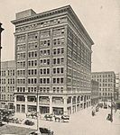
Old Toronto

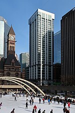
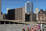
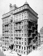
Old Toronto is the part of Toronto, Ontario, Canada, that corresponds to the boundaries of the City of Toronto prior to 1998. It was incorporated as a city in 1834, after being known as the town of York, and being part of York County. Toronto periodically grew in size by annexing adjacent land and municipalities. In 1954, the City of Toronto and the surrounding suburban towns and townships of York County were joined in a federation known as the Municipality of Metropolitan Toronto (Metro). Later, the lower-tier city annexed two towns until it reached its final boundaries in 1967. In 1998, the municipalities of Metro Toronto were amalgamated into the present-day single-tier City of Toronto, which continues legally from the predecessor City of Toronto, although the by-laws of each municipality remained in force. Historically, "Old Toronto" referred to Toronto's boundaries before the Great Toronto Fire of 1904, when most urban development was to the east of Yonge Street. Since the 1998 amalgamation, however, the 1967–1998 area of the lower-tier city is referred to as "Old Toronto" or the "former city of Toronto". It is sometimes less accurately referred to as "downtown" (Downtown Toronto is located within Old Toronto) or as "the core". Old Toronto has a population density of approximately 8,210 residents per square kilometre, which would rank as Canada’s densest (North America's second-densest) city with a population over 100,000 if it were still a distinct city.
Excerpt from the Wikipedia article Old Toronto (License: CC BY-SA 3.0, Authors, Images).Old Toronto
Queen Street West, Old Toronto
Geographical coordinates (GPS) Address Nearby Places Show on map
Geographical coordinates (GPS)
| Latitude | Longitude |
|---|---|
| N 43.6525 ° | E -79.381666666667 ° |
Address
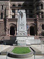
Old City Hall
Queen Street West 60
M5H 2M4 Old Toronto
Ontario, Canada
Open on Google Maps


