Laupen District
Canton of Bern geography stubsFormer districts of the canton of Bern

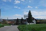
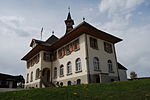
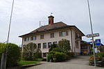
Laupen District is one of the 26 administrative districts in the canton of Bern, Switzerland. Its capital, while having administrative power, was the municipality of Laupen. From 1 January 2010, the district lost its administrative power while being replaced by the Bern-Mittelland (administrative district), whose administrative centre is Ostermundigen. Since 2010, it remains therefore a fully recognised district under the law and the Constitution (Art.3 al.2) of the Canton of Berne. The district has an area of 88 km² and consisted of 11 municipalities: The municipalities of Clavaleyres and Münchenwiler are enclaved within the canton of Fribourg.
Excerpt from the Wikipedia article Laupen District (License: CC BY-SA 3.0, Authors, Images).Laupen District
Industriestrasse,
Geographical coordinates (GPS) Address Nearby Places Show on map
Geographical coordinates (GPS)
| Latitude | Longitude |
|---|---|
| N 46.9 ° | E 7.23333 ° |
Address
Industriestrasse
Industriestrasse
3178
Fribourg, Switzerland
Open on Google Maps


