Oudenhoorn
Former municipalities of South HollandPages with non-numeric formatnum argumentsPopulated places in South HollandSouth Holland geography stubsVoorne aan Zee

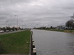
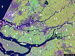
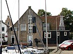
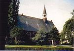
Oudenhoorn is a village in the Dutch province of South Holland. It is part of the municipality of Voorne aan Zee and lies about 3 km east of Hellevoetsluis. The village was first mentioned in 1356 as "den Hoorn". The current name means "old corner (of a dike)". The eponymous polder was created in 1356 by order of Machteld van Voorne. Oud (old) has been added to distinguish from Nieuwenhoorn.Oudenhoorn was an independent municipality until 1980 when it was merged into Bernisse. In 2015, it became part of Hellevoetsluis.
Excerpt from the Wikipedia article Oudenhoorn (License: CC BY-SA 3.0, Authors, Images).Oudenhoorn
Hollandseweg, Voorne aan Zee
Geographical coordinates (GPS) Address Nearby Places Show on map
Geographical coordinates (GPS)
| Latitude | Longitude |
|---|---|
| N 51.833333333333 ° | E 4.2 ° |
Address
Hollandseweg 24
3227 CB Voorne aan Zee
South Holland, Netherlands
Open on Google Maps


