Selun
Appenzell AlpsCanton of St. Gallen geography stubsMountains of SwitzerlandMountains of the AlpsMountains of the canton of St. Gallen ... and 1 more
Switzerland mountain stubs

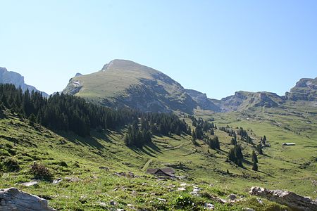
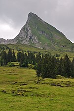
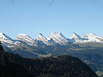
The Selun is one of the peaks of the Churfirsten range, located in the Appenzell Alps. It lies between the valley of Toggenburg and Lake Walenstadt in the canton of St. Gallen. The summit is easily accessible by a trail on the northern side. The peak is named for the extended alpine pasture Selunalp to the peak's north-west, situated above c. 1700 m. The name's etymology is uncertain, possibly from a *sellonem (Latin sella) "saddle". Named for Selunalp is Johannes Seluner (c. 1828–1898) who was found in 1844 as a feral child living in Wildenmannlisloch cave.
Excerpt from the Wikipedia article Selun (License: CC BY-SA 3.0, Authors, Images).Selun
Wildhaus-Alt St. Johann
Geographical coordinates (GPS) Address Nearby Places Show on map
Geographical coordinates (GPS)
| Latitude | Longitude |
|---|---|
| N 47.152777777778 ° | E 9.2555555555556 ° |
Address
Chalberberg
9656 Wildhaus-Alt St. Johann
St. Gallen, Switzerland
Open on Google Maps


