Col de la Croix Fry
Landforms of Haute-SavoieMountain passes of Auvergne-Rhône-Alpes

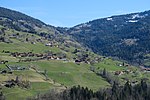
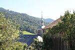
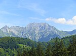
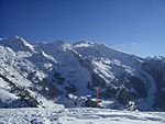
The Col de la Croix Fry (1,467 m (4,813 ft)) is a mountain pass located in the Chaîne des Aravis, between Manigod and La Clusaz in the Haute-Savoie department of France. The road over the col is used occasionally by the Tour de France cycle race with the tour crossing the pass on Stage 19 of the 2013 Tour. At the summit is the village of La Croix Fry.
Excerpt from the Wikipedia article Col de la Croix Fry (License: CC BY-SA 3.0, Authors, Images).Col de la Croix Fry
Route du Col de la Croix Fry, Annecy
Geographical coordinates (GPS) Address Nearby Places Show on map
Geographical coordinates (GPS)
| Latitude | Longitude |
|---|---|
| N 45.876666666667 ° | E 6.4047222222222 ° |
Address
Route du Col de la Croix Fry
Route du Col de la Croix Fry
74230 Annecy
Auvergne-Rhône-Alpes, France
Open on Google Maps
