La Croix Fry
Haute-Savoie geography stubsVillages in Auvergne-Rhône-Alpes

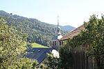
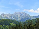
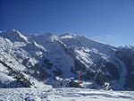
La Croix Fry is a small village contained within the domain of Manigod, Haute-Savoie, France. With a population of under 600, it is a popular site for hill walking on the Plateau de Beauregard as well as skiing in the winter. It is located in between the large skiing town of La Clusaz and the village of Manigod; the Col de la Croix Fry is on the Tour de France route through the Haute-Savoie department.
Excerpt from the Wikipedia article La Croix Fry (License: CC BY-SA 3.0, Authors, Images).La Croix Fry
Route du Col de la Croix Fry, Annecy
Geographical coordinates (GPS) Address Phone number Website Nearby Places Show on map
Geographical coordinates (GPS)
| Latitude | Longitude |
|---|---|
| N 45.876944444444 ° | E 6.4030555555556 ° |
Address
Hôtel Restaurant Les Sapins Wellness & Gourmet
Route du Col de la Croix Fry 6762
74230 Annecy
Auvergne-Rhône-Alpes, France
Open on Google Maps


