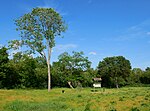
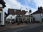
Coldblow
Areas of LondonDistricts of the London Borough of BexleyLondon stubsUse British English from August 2015

Coldblow is a village in South East London within the London Borough of Bexley. It is located south east of Bexleyheath and south west of Dartford, adjacent to the Greater London boundary with the county of Kent.
Excerpt from the Wikipedia article Coldblow (License: CC BY-SA 3.0, Authors, Images).Coldblow
The Firs, London Coldblow (London Borough of Bexley)
Geographical coordinates (GPS) Address Nearby Places Show on map
Geographical coordinates (GPS)
| Latitude | Longitude |
|---|---|
| N 51.436492 ° | E 0.165305 ° |
Address
The Firs
The Firs
DA5 2AX London, Coldblow (London Borough of Bexley)
England, United Kingdom
Open on Google Maps


