Metropolitan Borough of Westminster
1900 establishments in the United Kingdom1965 disestablishments in the United KingdomDistricts abolished by the London Government Act 1963History of the City of WestminsterMetropolitan boroughs of the County of London ... and 1 more
Use British English from February 2019

The Metropolitan Borough of Westminster was a metropolitan borough in the County of London, England, from 1900 to 1965.
Excerpt from the Wikipedia article Metropolitan Borough of Westminster (License: CC BY-SA 3.0, Authors, Images).Metropolitan Borough of Westminster
Buckingham Gate, London Victoria
Geographical coordinates (GPS) Address Nearby Places Show on map
Geographical coordinates (GPS)
| Latitude | Longitude |
|---|---|
| N 51.499 ° | E -0.138 ° |
Address
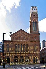
Westminster Chapel
Buckingham Gate 136
SW1E 6BS London, Victoria
England, United Kingdom
Open on Google Maps


