Grenzchopf
Appenzell AlpsCanton of St. Gallen geography stubsMountains of Appenzell AusserrhodenMountains of SwitzerlandMountains of the Alps ... and 4 more
Mountains of the canton of St. GallenSwitzerland geography stubsSwitzerland mountain stubsTwo-thousanders of Switzerland
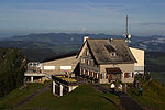
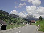
The Grenzchopf (2,193 m) is a mountain of the Appenzell Alps, overlooking the Schwägalp Pass on the border between the Swiss cantons of Appenzell Ausserrhoden and St. Gallen. Located 2 kilometres west of the Säntis, the Grenzchopf is one of the highest summits of the canton of Appenzell Ausserrhoden. It is also its southernmost point.
Excerpt from the Wikipedia article Grenzchopf (License: CC BY-SA 3.0, Authors).Grenzchopf
Geographical coordinates (GPS) Address Phone number Website Nearby Places Show on map
Geographical coordinates (GPS)
| Latitude | Longitude |
|---|---|
| N 47.246944444444 ° | E 9.3236111111111 ° |
Address
Berggasthaus Tierwies
993
9107 , Wildhaus
St. Gallen, Switzerland
Open on Google Maps


