Plumpton, East Sussex
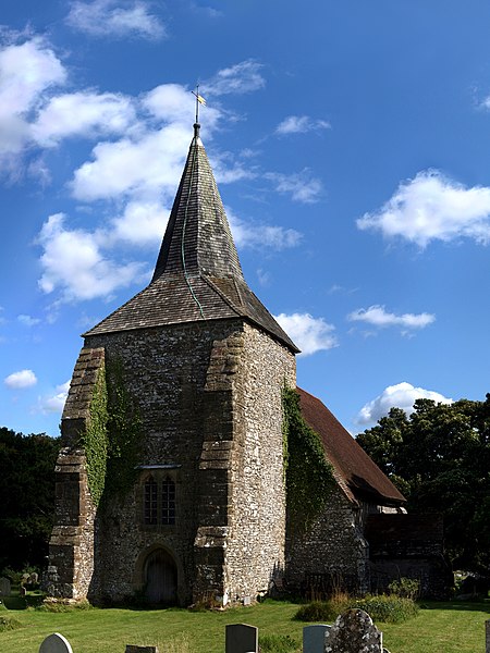
Plumpton is a village and civil parish in the Lewes District of East Sussex, England. The village is located five miles (8 km) north-west of Lewes. The parish measures 6.5 miles in length on its north–south axis and 1 mile at its widest on the B2116 Underhill Road. The southern half of the parish lies within the South Downs National Park and at the highest point, 214m (702 feet), the South Downs Way traverses the crest of Plumpton Plain. The parish includes the small village of Plumpton adjacent to the Downs and to the north the larger village of Plumpton Green where most of the community and services are based. Plumpton is known for its race course, and also Plumpton College, which farms over 2500 acres of land and has become one of the leading centres for land-based education in the UK. Plumpton is mentioned in the Domesday Book of 1086 as having a church and two mills, and is shown as Pluntune, meaning 'town or settlement where plum-trees grew'.Plumpton Green is rumoured to have been the inspiration for the popular 1960s British children's television series Trumpton by Gordon Murray, with nearby Chailey being Chigley and Wivelsfield Green being Camberwick Green.
Excerpt from the Wikipedia article Plumpton, East Sussex (License: CC BY-SA 3.0, Authors, Images).Plumpton, East Sussex
Plumpton Bostall,
Geographical coordinates (GPS) Address Nearby Places Show on map
Geographical coordinates (GPS)
| Latitude | Longitude |
|---|---|
| N 50.9 ° | E -0.07 ° |
Address
Plumpton Bostall
Plumpton Bostall
BN7 3AF , Plumpton
England, United Kingdom
Open on Google Maps
