Winchfield

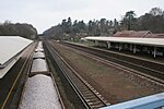
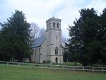
Winchfield is a small village in the Hart District of Hampshire in the South-East of England. It is situated 1 mile (1.6 km) south-west of Hartley Wintney, 8 miles (13 km) east of Basingstoke, 2 miles (3.2 km) north-east of Odiham and 38 miles (61 km) west of London. It is connected to London Waterloo and Basingstoke by the South West Main Line. Winchfield consists of a recently rebuilt village hall (in 1998), a church, a 17th century inn called the Winchfield Inn and a combination of old residential properties and new ones. In the 2011 census Winchfield parish had a population of 664. The population is scattered across this wide parish, which includes Potbridge, settlement around Winchfield church, Winchfield Hurst and Shapley Heath.
Excerpt from the Wikipedia article Winchfield (License: CC BY-SA 3.0, Authors, Images).Winchfield
Sprat's Hatch Lane, Hart Dogmersfield
Geographical coordinates (GPS) Address Nearby Places Show on map
Geographical coordinates (GPS)
| Latitude | Longitude |
|---|---|
| N 51.26829 ° | E -0.90055 ° |
Address
Sprat's Hatch Lane
Sprat's Hatch Lane
RG27 8TH Hart, Dogmersfield
England, United Kingdom
Open on Google Maps


