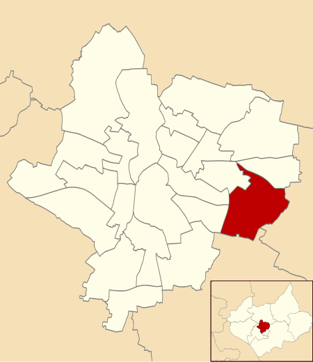
Evington
Areas of LeicesterEngvarB from September 2013Former civil parishes in Leicestershire

Evington is an area of Leicester, and electoral ward of the Leicester district, in the ceremonial county of Leicestershire, England. It used to be a small village centred on Main Street and the Anglican church of St Denys but was close enough to Leicester to become one of the outer suburbs in the 1930s. Today, the ward comprises the historical village of Evington, as well as the modern ex-council estates of Rowlatts Hill and Goodwood. The population of the ward at the 2011 census was 11,133.
Excerpt from the Wikipedia article Evington (License: CC BY-SA 3.0, Authors, Images).Evington
Whitehall Road, Leicester Evington
Geographical coordinates (GPS) Address Phone number Website Nearby Places Show on map
Geographical coordinates (GPS)
| Latitude | Longitude |
|---|---|
| N 52.628 ° | E -1.074 ° |
Address
Whitehall Primary School
Whitehall Road
LE5 6GJ Leicester, Evington
England, United Kingdom
Open on Google Maps


