Park Street, Hertfordshire

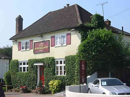
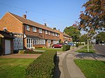
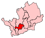
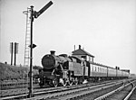
Park Street is a small Hertfordshire village on the southern outskirts of, and around 2 miles (3.2 km) south of the city centre of St Albans in England; it is separated from the rest of the latter's contiguous built-up area by a buffer to the north. Park Street has a petrol station, several tyre and automotive service businesses and two food-serving public houses; it is of late and initially disparate medieval origin. The village is also home to the penultimate station on the Abbey Line from Watford Junction, which opened in 1858. Park Street is also a larger local government ward (the largest settlement of which is How Wood and which includes part of Bricket Wood). The area falls within the Metropolitan Green Belt. Residents are mainly employed in nearby cities; east of the street in Frogmore is a substantial business centre and light industrial estate.
Excerpt from the Wikipedia article Park Street, Hertfordshire (License: CC BY-SA 3.0, Authors, Images).Park Street, Hertfordshire
Park Street Lane, St Albans St Stephen
Geographical coordinates (GPS) Address Nearby Places Show on map
Geographical coordinates (GPS)
| Latitude | Longitude |
|---|---|
| N 51.722 ° | E -0.339 ° |
Address
Park Street Lane
Park Street Lane
AL2 2ND St Albans, St Stephen
England, United Kingdom
Open on Google Maps


