Armistead Gardens, Baltimore
Appalachian culture in BaltimoreArmistead Gardens, BaltimoreNeighborhoods in BaltimoreWhite American culture in BaltimoreWorking-class culture in Baltimore

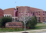
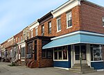
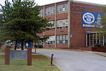
Armistead Gardens is a neighborhood in the Northeast District of Baltimore. It is located north of Pulaski Highway and east of Erdman Avenue, between Herring Run Park (northeast) and the East District neighborhood of Orangeville (southwest).Armistead Gardens is home to four churches, Armistead Gardens Elementary School, and the Bohemian National Cemetery. The nearest major highways are Pulaski Highway (U.S. Route 40) and Erdman Avenue.
Excerpt from the Wikipedia article Armistead Gardens, Baltimore (License: CC BY-SA 3.0, Authors, Images).Armistead Gardens, Baltimore
Horners Lane, Baltimore
Geographical coordinates (GPS) Address Nearby Places Show on map
Geographical coordinates (GPS)
| Latitude | Longitude |
|---|---|
| N 39.302222222222 ° | E -76.549722222222 ° |
Address
Horners Lane 911
21205 Baltimore
Maryland, United States
Open on Google Maps


