Bulford
Civil parishes in WiltshireEngvarB from July 2016OpenDomesdayVillages in Wiltshire

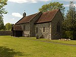
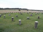
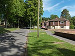
Bulford is a village and civil parish in Wiltshire, England, close to Salisbury Plain. The village is close to Durrington and about 1.5 miles (2.4 km) north of the town of Amesbury. The Bulford Camp army base is separate from the village but within the parish. The Salisbury Avon forms the western boundary of the parish, and the village is near the confluence of the Nine Mile River with the Avon. The Bulford Kiwi – a large chalk representation of a kiwi – is on a hill above the village.
Excerpt from the Wikipedia article Bulford (License: CC BY-SA 3.0, Authors, Images).Bulford
High Street,
Geographical coordinates (GPS) Address Nearby Places Show on map
Geographical coordinates (GPS)
| Latitude | Longitude |
|---|---|
| N 51.19 ° | E -1.761 ° |
Address
High Street
High Street
SP4 9DR , Bulford
England, United Kingdom
Open on Google Maps


