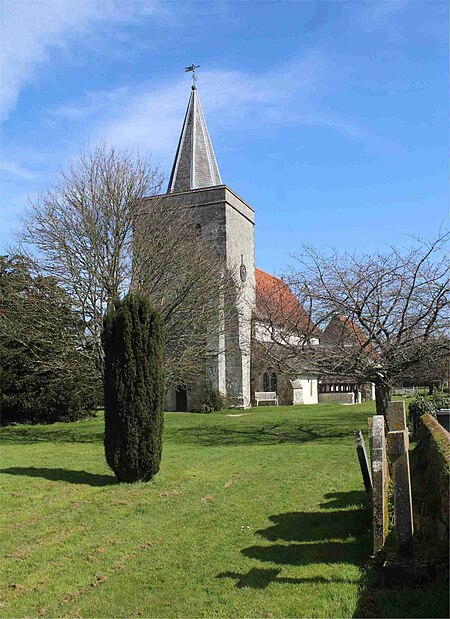
Binsted

Binsted is a village and large civil parish in East Hampshire, England. It is about 4.1 miles (6.6 km) east of Alton, its nearest town. The parish is one of the largest in northern Hampshire and covers almost 7,000 acres (2,800 ha). It contains two villages, Bucks Horn Oak and Holt Pound, as well as two hamlets, Wyck and Wheatley. The parish also covers the entirety of the Alice Holt Forest, a royal forest situated near the border with Surrey. The nearest railway station is 1.8 miles (2.9 km) northeast of the village, at Bentley. According to the 2011 census, the parish had a population of 1,817 people.The village was first mentioned as being part of the Hundred of Netham at the time of the Domesday Survey in 1086. The history of Binsted from the 11th to 19th centuries is not documented, owing to its isolation and non-involvement in controversial activity. The parish has 58 Grade II listed buildings, and one Grade I building – the Church of the Holy Cross.
Excerpt from the Wikipedia article Binsted (License: CC BY-SA 3.0, Authors, Images).Binsted
Church Street, East Hampshire
Geographical coordinates (GPS) Address Phone number Website Nearby Places Show on map
Geographical coordinates (GPS)
| Latitude | Longitude |
|---|---|
| N 51.164 ° | E -0.899 ° |
Address
Binsted CE Primary School (Binsted Primary School)
Church Street
GU34 4NX East Hampshire
England, United Kingdom
Open on Google Maps


