Constance Hopper
Baden-Württemberg geography stubsBays of GermanyGeography of Lake ConstanceLandforms of Baden-WürttembergThurgau geography stubs
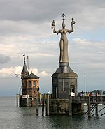
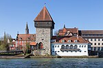
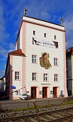
The Constance Hopper, Bay of Constance or Constance Funnel (German: Konstanzer Trichter) is a bay in Lake Constance, to the east of Constance and north of Kreuzlingen. The leading outflow of the Upper Lake is the Seerhein, which begins in the Constance hopper. The Constance Hopper the only part of the Obersee, where a territorial boundary has been defined by the neighbouring states, in this case, Germany and Switzerland. The Dominicans Island is located in the Constance Hopper. It is part of the city of Constance.
Excerpt from the Wikipedia article Constance Hopper (License: CC BY-SA 3.0, Authors).Constance Hopper
Verwaltungsgemeinschaft Konstanz
Geographical coordinates (GPS) Address Nearby Places Show on map
Geographical coordinates (GPS)
| Latitude | Longitude |
|---|---|
| N 47.658333333333 ° | E 9.1916666666667 ° |
Address
Petershausen
78464 Verwaltungsgemeinschaft Konstanz, Konstanz-Petershausen-Ost
Baden-Württemberg, Germany
Open on Google Maps

