Plessur District
Alpine Rhine basinDistricts of GraubündenGraubünden geography stubs

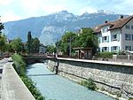
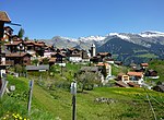
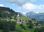
Plessur District (German: Bezirk Plessur, Romansh: ) is a former administrative district in the canton of Graubünden, Switzerland. It had an area of 266.73 km2 (102.99 sq mi) and has a population of 40,707 in 2015. The former district is named after the river Plessur which crosses it. However, the region along the Plessur –and therefore the whole valley–is called Schanfigg. It was replaced with the Plessur Region on 1 January 2017 as part of a reorganization of the Canton.Plessur District consisted of three Kreise (sub-districts) Chur, Churwalden and Schanfigg, which are formed from a total of twelve municipalities:
Excerpt from the Wikipedia article Plessur District (License: CC BY-SA 3.0, Authors, Images).Plessur District
Ägerta, Tschiertschen-Praden
Geographical coordinates (GPS) Address Nearby Places Show on map
Geographical coordinates (GPS)
| Latitude | Longitude |
|---|---|
| N 46.8181 ° | E 9.60651 ° |
Address
Ägerta 20c
7064 Tschiertschen-Praden
Grisons, Switzerland
Open on Google Maps


