City of London Pedway Scheme
Buildings and structures in the City of LondonSkyways

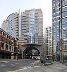
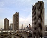
The City of London Pedway Scheme is a largely elevated pedway network that evolved out of a plan to transform traffic flows in the City of London by separating pedestrians from street level traffic using elevated walkways. First devised as part of the post World War II reconstruction plans for London, it was put into effect mainly from the mid-1950s to the mid-1960s, and had been largely mothballed by the 1980s. The scheme was partially revived in 2017 when a new section of walkway was added as part of a development in London Wall.
Excerpt from the Wikipedia article City of London Pedway Scheme (License: CC BY-SA 3.0, Authors, Images).City of London Pedway Scheme
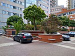
Monkwell Square, City of London
Geographical coordinates (GPS) Address Nearby Places Show on map
Geographical coordinates (GPS)
| Latitude | Longitude |
|---|---|
| N 51.51824 ° | E -0.0945 ° |
Address
Wallside
Monkwell Square
EC2Y 8BH City of London
England, United Kingdom
Open on Google Maps


