The Rodings
Geography of EssexVillages in Essex

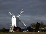
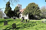
The Rodings are a group of eight villages in the upper part of the River Roding and the west of Essex, England, the largest group in the country to bear a common name. The Rodings do not lie within a single district in the county; they are arranged around the tripoint of the administrative areas of Chelmsford, Uttlesford and Epping Forest. An alternative arcane name, linked to the Middle English Essex dialect, was The Roothings.
Excerpt from the Wikipedia article The Rodings (License: CC BY-SA 3.0, Authors, Images).The Rodings
Stortford Road, Uttlesford Leaden Roding
Geographical coordinates (GPS) Address Nearby Places Show on map
Geographical coordinates (GPS)
| Latitude | Longitude |
|---|---|
| N 51.8 ° | E 0.3 ° |
Address
Stortford Road
CM6 1QX Uttlesford, Leaden Roding
England, United Kingdom
Open on Google Maps


