West Seventh, Saint Paul
AC with 0 elementsMinnesota populated places on the Mississippi RiverNeighborhoods in Saint Paul, Minnesota

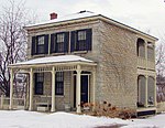
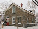
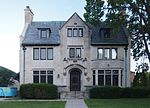
West Seventh is a neighborhood in Saint Paul, Minnesota, United States. This area is colloquially known as the West End, and is not to be confused with the West Side, a different neighborhood. The West End lies at the base of Summit Hill and along the western bluffs of the Mississippi River, spanning the entire length of West Seventh Street, or Old Fort Road; it is also known as the Fort Road area. Fort Road was a historic Native American and fur trader path along the Mississippi River from downtown Saint Paul to Fort Snelling.
Excerpt from the Wikipedia article West Seventh, Saint Paul (License: CC BY-SA 3.0, Authors, Images).West Seventh, Saint Paul
Cliff Street, Saint Paul West Seventh - Fort Road
Geographical coordinates (GPS) Address Nearby Places Show on map
Geographical coordinates (GPS)
| Latitude | Longitude |
|---|---|
| N 44.9342 ° | E -93.1126 ° |
Address
Cliff Street 310
55102 Saint Paul, West Seventh - Fort Road
Minnesota, United States
Open on Google Maps


