Plantsville, Connecticut
Census-designated places in ConnecticutCensus-designated places in Hartford County, ConnecticutHistoric districts in Hartford County, ConnecticutHistoric districts on the National Register of Historic Places in ConnecticutItalianate architecture in Connecticut ... and 5 more
NRHP infobox with nocatNational Register of Historic Places in Hartford County, ConnecticutNeighborhoods in ConnecticutQueen Anne architecture in ConnecticutSouthington, Connecticut

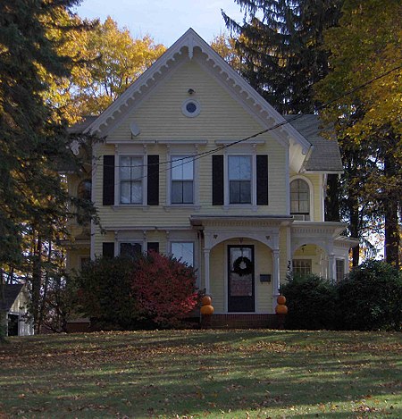
Plantsville is a neighborhood in the town of Southington, Hartford County, Connecticut. It is centered at the merger between South Main Street (road from the Milldale section) and West Main Street (road from the Marion section). As of the 2000 Census there were 10,387 people living in the Zip Code Tabulation Area for zip code 06479, which is assigned the postal city name Plantsville. The Zip Code Tabulation Area includes the entire southwestern corner of the town of Southington, including Marion and Milldale. Beginning in 2015 Plantsville (not including Marion and Milldale) was listed as a census-designated place.
Excerpt from the Wikipedia article Plantsville, Connecticut (License: CC BY-SA 3.0, Authors, Images).Plantsville, Connecticut
Elm Street,
Geographical coordinates (GPS) Address Nearby Places Show on map
Geographical coordinates (GPS)
| Latitude | Longitude |
|---|---|
| N 41.590555555556 ° | E -72.893055555556 ° |
Address
Elm Street 28
06479
Connecticut, United States
Open on Google Maps


