The Stukeleys
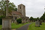
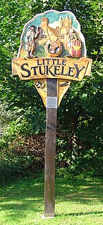
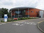
The Stukeleys is a civil parish in the district of Huntingdonshire, in Cambridgeshire, England, consisting of the villages of Great Stukeley and Little Stukeley, and the new settlement of Alconbury Weald being built on the old RAF Alconbury site. The parish lies just north-west of Huntingdon. As well as the two villages, the parish also includes Huntingdon racecourse. The East Coast Main Line runs across the eastern edge of the parish. The A14 road runs south-east to north-west across the western half of the parish and has junction with the A1 road just outside the western border of the parish. Cambridgeshire County Council has its headquarters at New Shire Hall on the Alconbury Weald development in the parish.
Excerpt from the Wikipedia article The Stukeleys (License: CC BY-SA 3.0, Authors).The Stukeleys
Ermine Street, Huntingdonshire Alconbury Weald
Geographical coordinates (GPS) Address Nearby Places Show on map
Geographical coordinates (GPS)
| Latitude | Longitude |
|---|---|
| N 52.3594 ° | E -0.2167 ° |
Address
Ermine Street
Ermine Street
PE28 4ZG Huntingdonshire, Alconbury Weald
England, United Kingdom
Open on Google Maps


