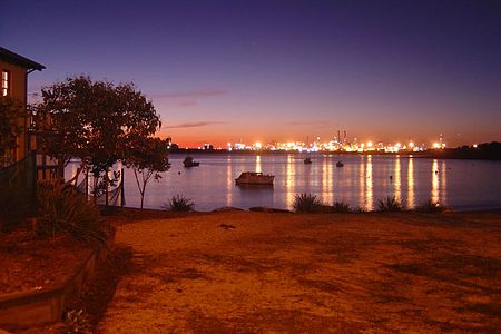
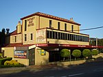
Port Botany, New South Wales
Botany, New South WalesBotany BaySuburbs of SydneyUse Australian English from April 2018

Port Botany is a suburb in the Eastern Suburbs of Sydney, in the state of New South Wales, Australia. Port Botany is located 12 kilometres south of the Sydney central business district, in the local government area of the City of Randwick. Port Botany sits on the northern shore of Botany Bay, adjacent to the suburbs of Matraville, Banksmeadow and Phillip Bay.
Excerpt from the Wikipedia article Port Botany, New South Wales (License: CC BY-SA 3.0, Authors, Images).Port Botany, New South Wales
Prince of Wales Drive, Sydney Port Botany
Geographical coordinates (GPS) Address Nearby Places Show on map
Geographical coordinates (GPS)
| Latitude | Longitude |
|---|---|
| N -33.976 ° | E 151.218 ° |
Address
Prince of Wales Drive
2036 Sydney, Port Botany
New South Wales, Australia
Open on Google Maps


