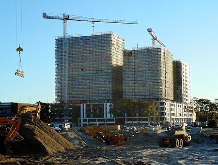
Eastgardens, New South Wales
Bayside CouncilSuburbs of SydneyUse Australian English from March 2014

Eastgardens is a suburb in the Eastern Suburbs of Sydney, in the state of New South Wales, Australia. Eastgardens is located 9 km south-east of the Sydney central business district and is part of the Bayside Council. It has a large shopping centre, Westfield Eastgardens at the corner of Wentworth Avenue and Bunnerong Road. Eastgardens is surrounded by the suburbs of Pagewood, Maroubra, Hillsdale and Banksmeadow.
Excerpt from the Wikipedia article Eastgardens, New South Wales (License: CC BY-SA 3.0, Authors, Images).Eastgardens, New South Wales
Wentworth Avenue, Sydney Eastgardens
Geographical coordinates (GPS) Address Nearby Places Show on map
Geographical coordinates (GPS)
| Latitude | Longitude |
|---|---|
| N -33.946111111111 ° | E 151.225 ° |
Address
Wentworth Avenue
Wentworth Avenue
2036 Sydney, Eastgardens
New South Wales, Australia
Open on Google Maps


